- Type: Research report
- Client: Self-initiated by FRESH
- Core team: ir. Henk Hartzema, Dipl. -Ing., ir. Aikaterina Myserli
- Status: 2019 – Ongoing
According to EU’s environmental targets for 2030, greenhouse gas emissions should be reduced by 40% (compared to 1990) and 32% of the total energy consumption should derive from renewable energy sources [see: https://ec.europa.eu/clima/citizens/eu_en]. A process such as this to completely reorient the energy infrastructures and a significant proportion of the land use within a territory of this size clearly is not achieved overnight. This ongoing research illustrates the high complexity of this goal and helps governance institutions, policy makers, politicians, companies and citizens to gain a clear understanding of the extreme network of administrative entities, jurisdictions and authorities in the roll-out of a project of this scale.
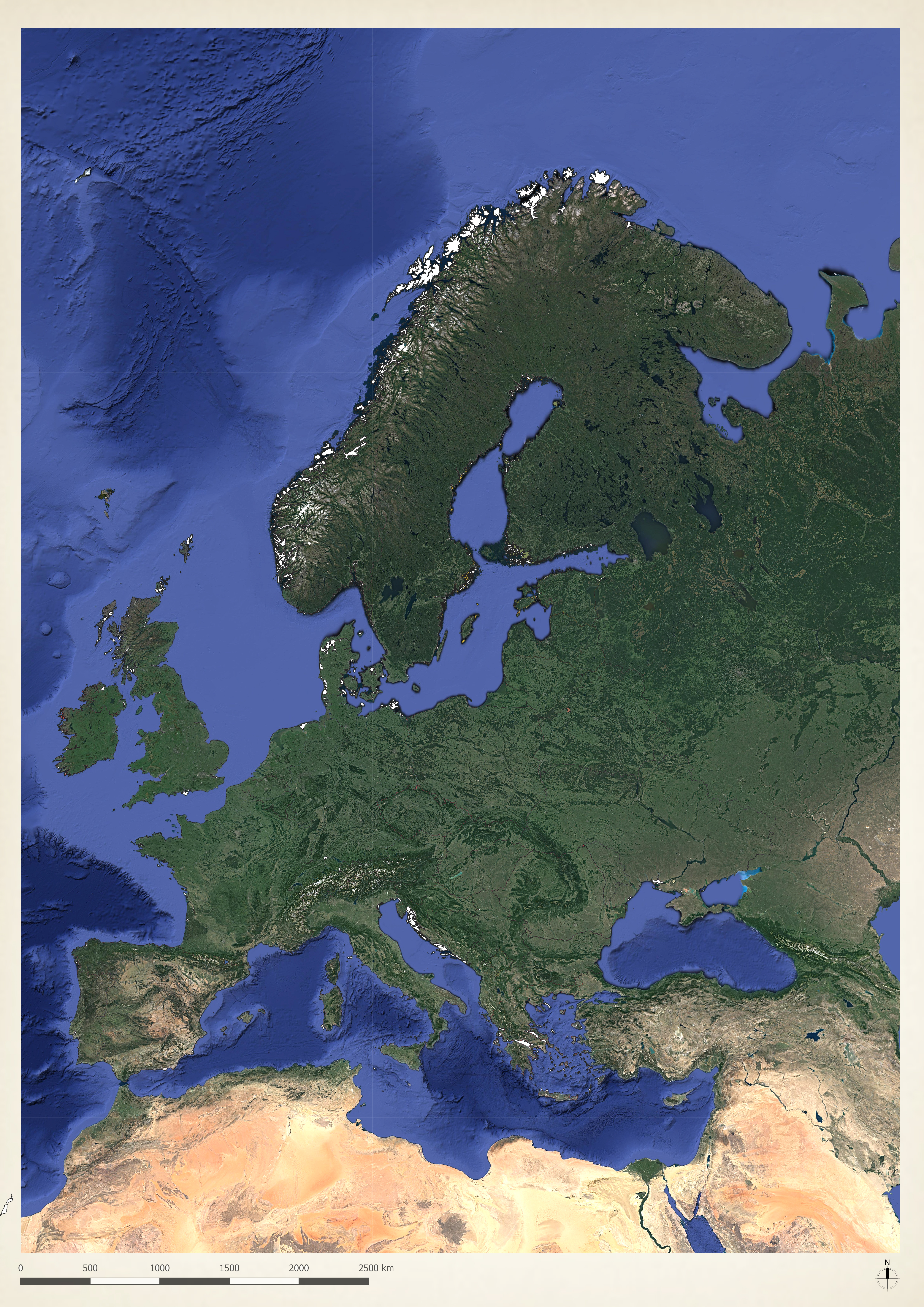
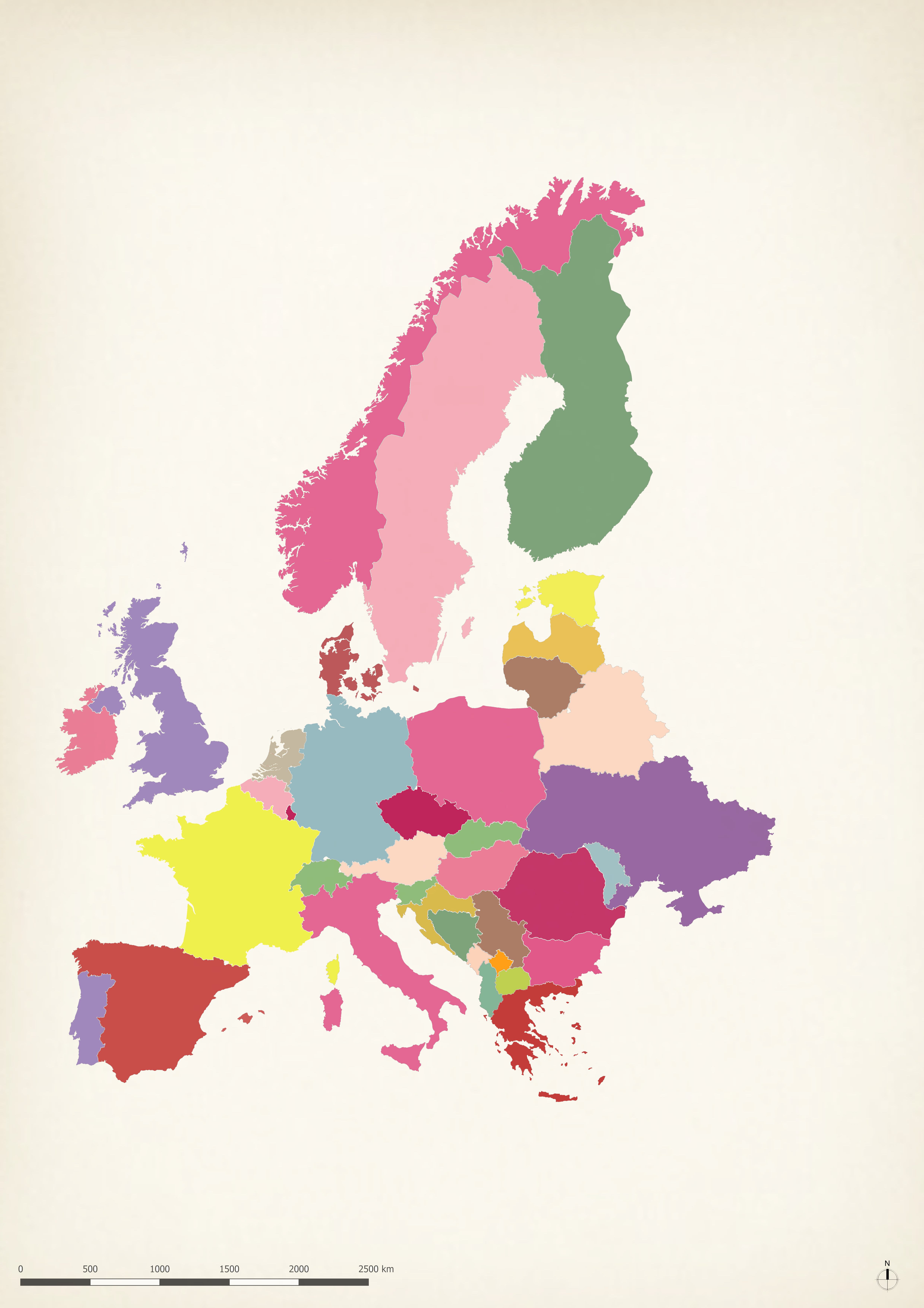
Part I: The European Perspective
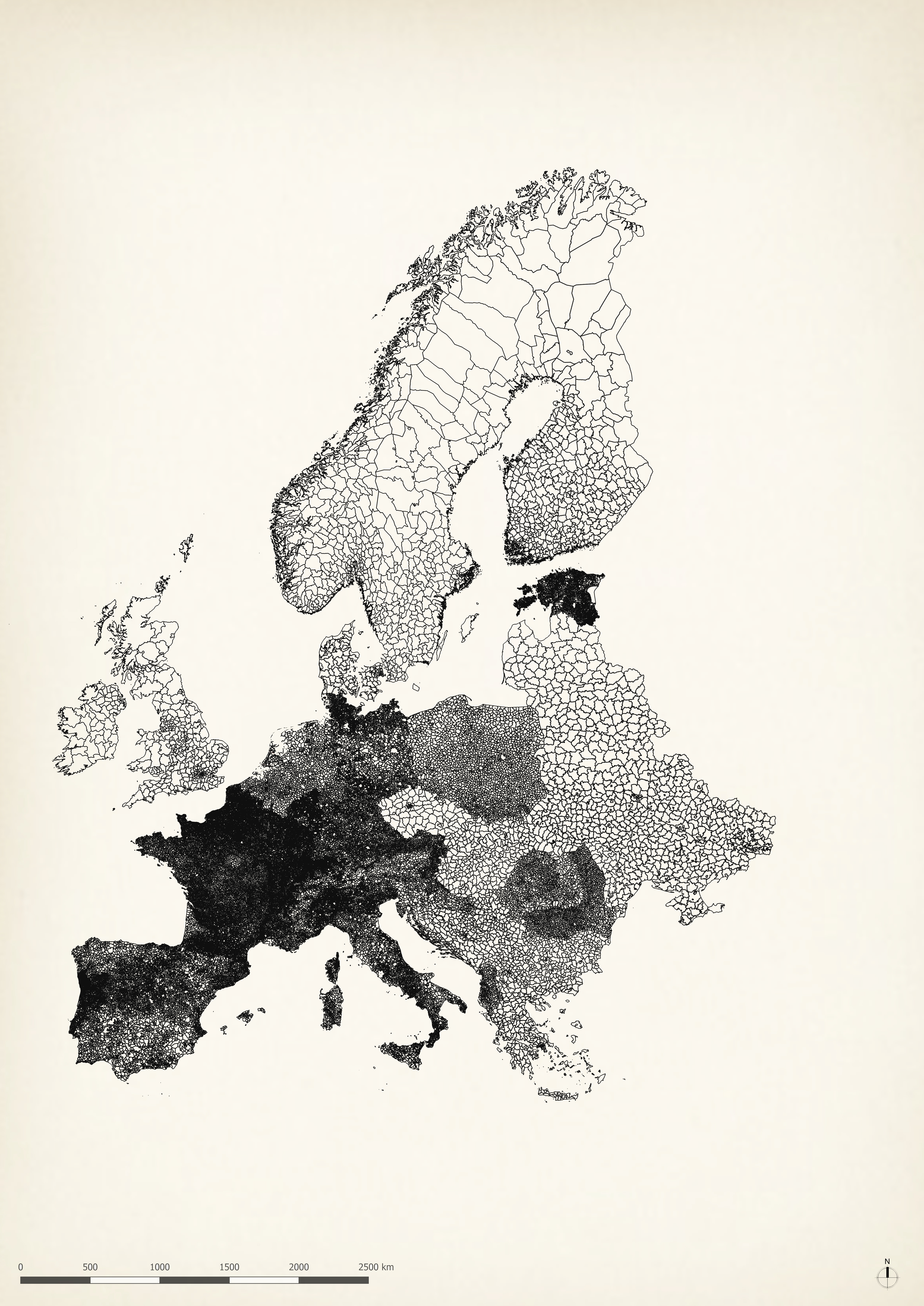
The extreme fragmentation on the local level makes us wonder: Is an integrated transition even possible?
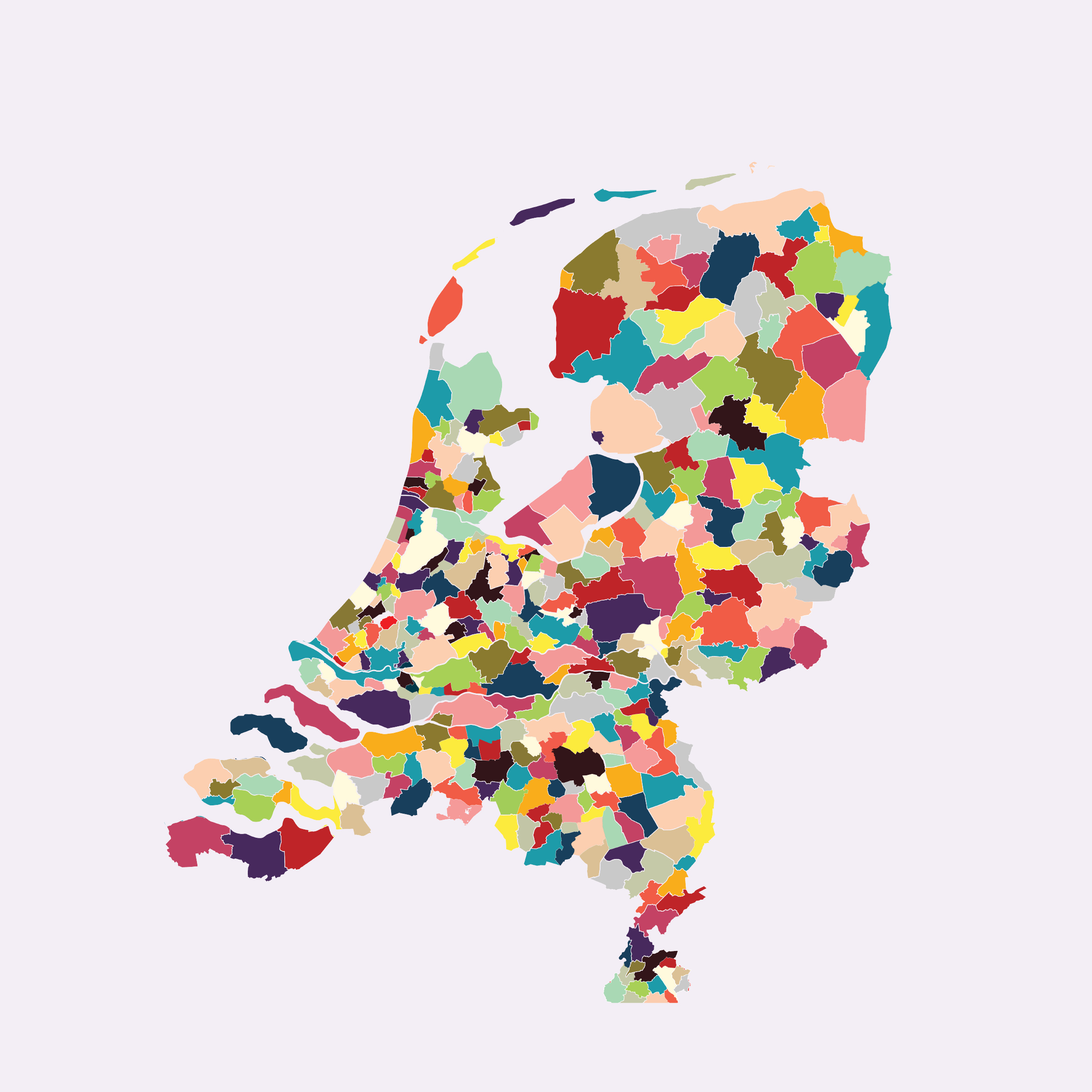
Part II: The Dutch Fragmentation
Next phase of this project will be released in 2020.